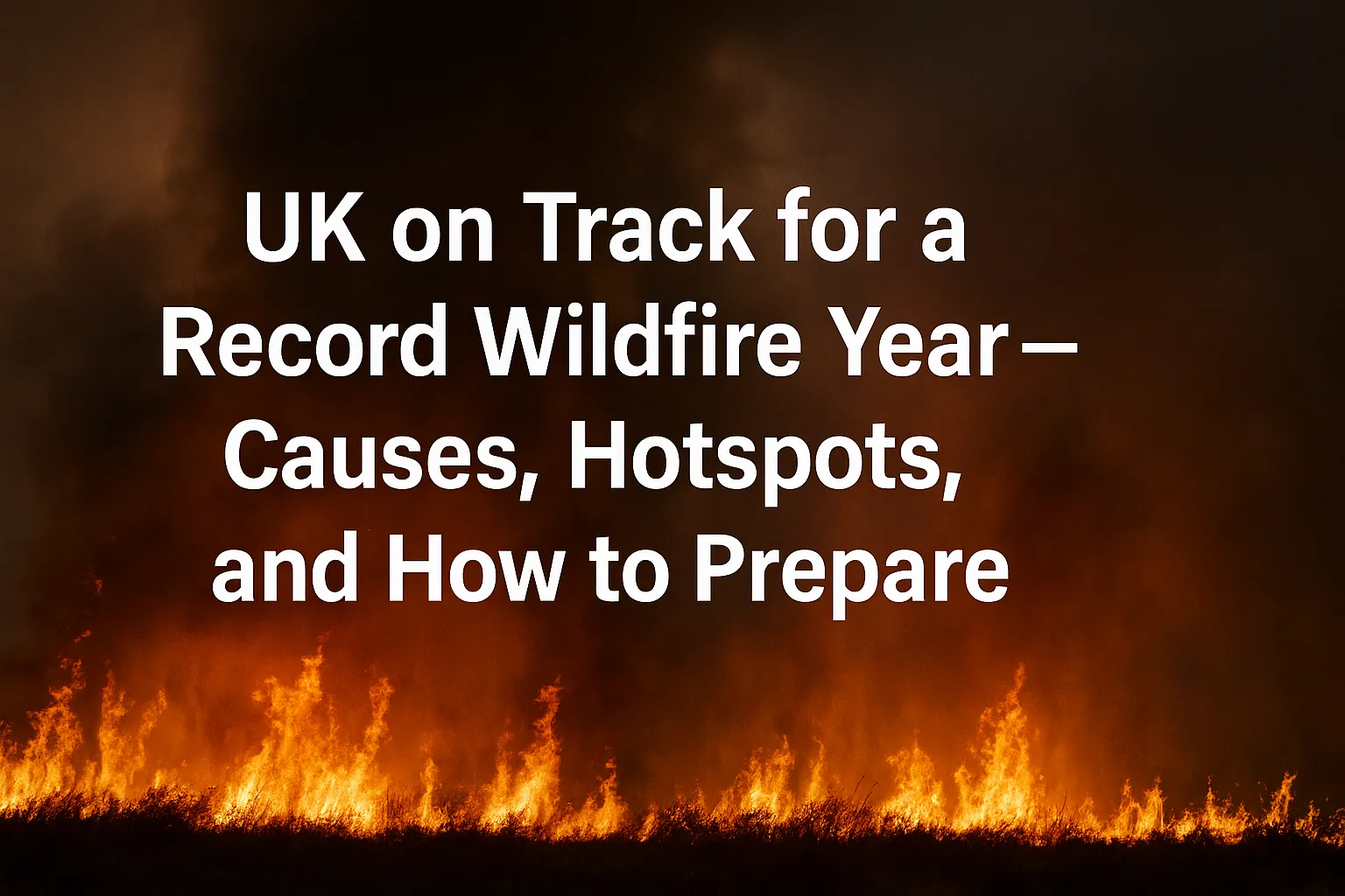
UK on Track for a Record Wildfire Year Causes, Hotspots, and How to Prepare
A perfect storm of heat, wind, and parched vegetation has set the stage for an unusually active UK wildfire season. From upland moors to lowland heath, fires are breaking out faster, spreading further, and straining response capacity. Here’s what’s driving the risk, where to watch, and how to protect people and property.
What’s Driving the Surge?
- Persistent heat & dry spells: Extended high‑pressure systems desiccate grasses, heather and gorse.
- Windy episodes: Gusts fan flames and leap firebreaks, complicating aerial support.
- High fuel loads: Overgrown moorland and unmanaged scrub create continuous burnable corridors.
- Human ignition: BBQs, discarded cigarettes and machinery sparks remain leading triggers.
UK Hotspots to Monitor
| Region | Main Hazard | Watch‑outs |
|---|---|---|
| North West Moors | Heather & peat | Deep‑seated peat fires; lingering smoke & flare‑ups after rain. |
| South‑East Heathlands | Gorse & grass | Rapid spread near housing; ember attack on fences & sheds. |
| Wales Uplands | Bracken & grass | Steep terrain, changing winds; access limits for crews. |
| Scotland Highlands | Peat & forestry edge | Remote locations; helicopter buckets limited by visibility. |
Response Capacity: What’s Working, What’s Stretched
- Inter‑service coordination has improved with common wildfire tactics, but surge staffing remains a pain point on hot weekends.
- Aerial support helps on steep or inaccessible ground, yet availability is weather and resource dependent.
- Public awareness is rising, though BBQ bans and access restrictions need clear signage and enforcement.
Tip: If you live within 1 km of heath or moorland, maintain a 1–2 m debris‑free buffer around fences and sheds and store firewood away from walls.
Household Wildfire Readiness Checklist
- Create a two‑minute evacuation plan; practice routes and a meeting point.
- Assemble a go‑bag: water, snacks, medications, photo IDs, power bank, head torch, first‑aid kit, pet supplies.
- Keep gutters clear; fit metal mesh over vents where feasible.
- Know your local alerting channel (council, police, fire service feeds) and add it to favorites.
Business & Landowner Actions
- Update continuity plans: remote work fallback, comms tree, and data backups.
- Establish no‑spark days for mowing/strimming when fire risk is high.
- Stage water bowsers and beaters at access points; confirm grid refs for responding crews.
- Map firebreaks and maintain vehicle access with clear signage.
Myths vs Facts
| Myth | Fact |
|---|---|
| “A quick shower ends fire risk.” | Light rain rarely re‑hydrates deep fuels; wind and heat can reignite edges. |
| “Wildfires are only a summer issue.” | Dry, windy conditions in spring and autumn can be just as hazardous. |
| “Urban areas are safe.” | Embers can travel hundreds of metres, igniting fences, sheds and decking. |
What to Do If You See a Fire
- Call 999 and ask for Fire; give a precise location (what3words, grid ref or nearest landmark).
- Move upwind and upslope if possible; avoid driving through smoke.
- Do not attempt to beat flames without training; small changes in wind can trap you.
Always follow instructions from local authorities. Access restrictions protect both habitats and responders.
FAQ
Do bans on BBQs actually help? Yes. Most ignitions are human‑caused; removing open flames and hot coals lowers incidents immediately.
Is peat fire smoke dangerous? Prolonged exposure can irritate lungs and eyes. Close windows, use HEPA filters if available, and limit outdoor exertion in heavy smoke.
How can communities reduce risk long‑term? Seasonal fuel management, clear escape routes, and shared communication plans between councils, landowners and residents.